
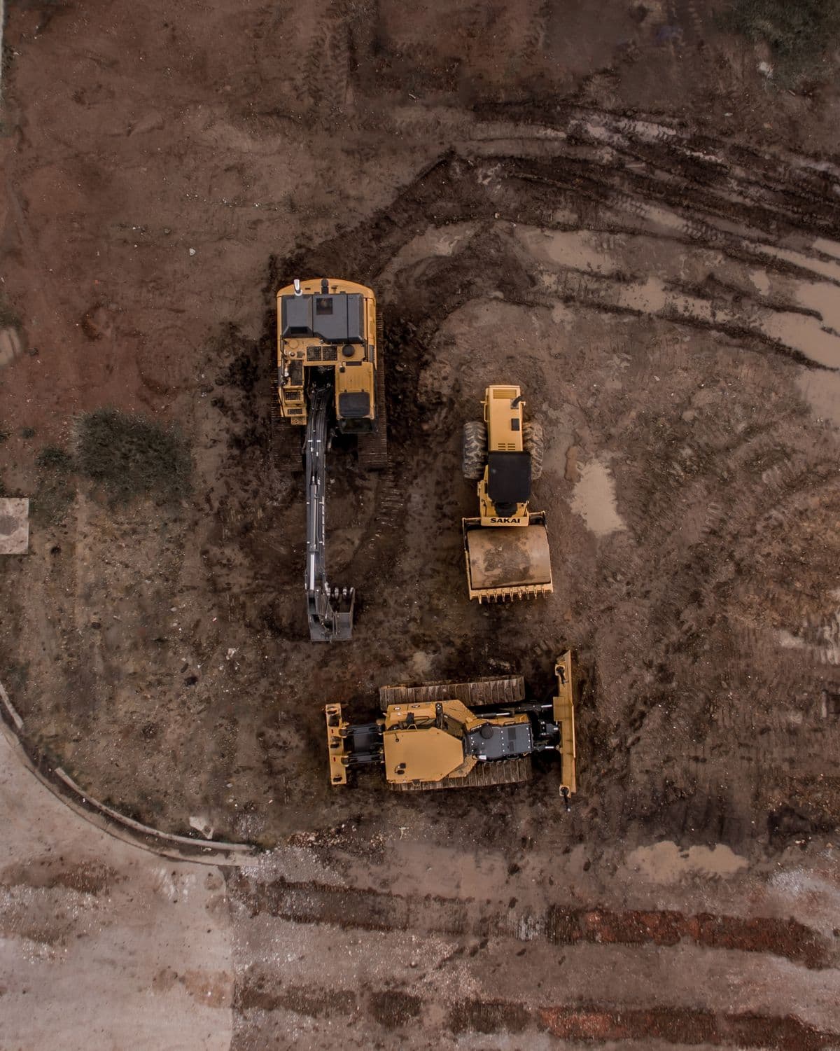
We don't just fly drones.We build aerial intelligence.
Capture. Measure. Inspect. Model. Document. DOM turns aerial operations into usable information for the people managing real assets, sites, and projects.
MAP
Orthomosaics + 3D
INSPECT
Assets + Infrastructure
DOCUMENT
Progress + Compliance
DELIVER
Decision-Ready Data
Capabilities
Choose the outcome. We build the mission around it.
Every engagement is scoped around what you need to know, prove, measure, inspect, or communicate—not around selling flight time.

Aerial Cinematography & Photography
Cinema-grade aerial video and photography for marketing, real estate, facilities, and corporate production.
Mapping & Surveying
Orthomosaic mapping, 3D reconstruction, topographic capture, and measurable site intelligence.
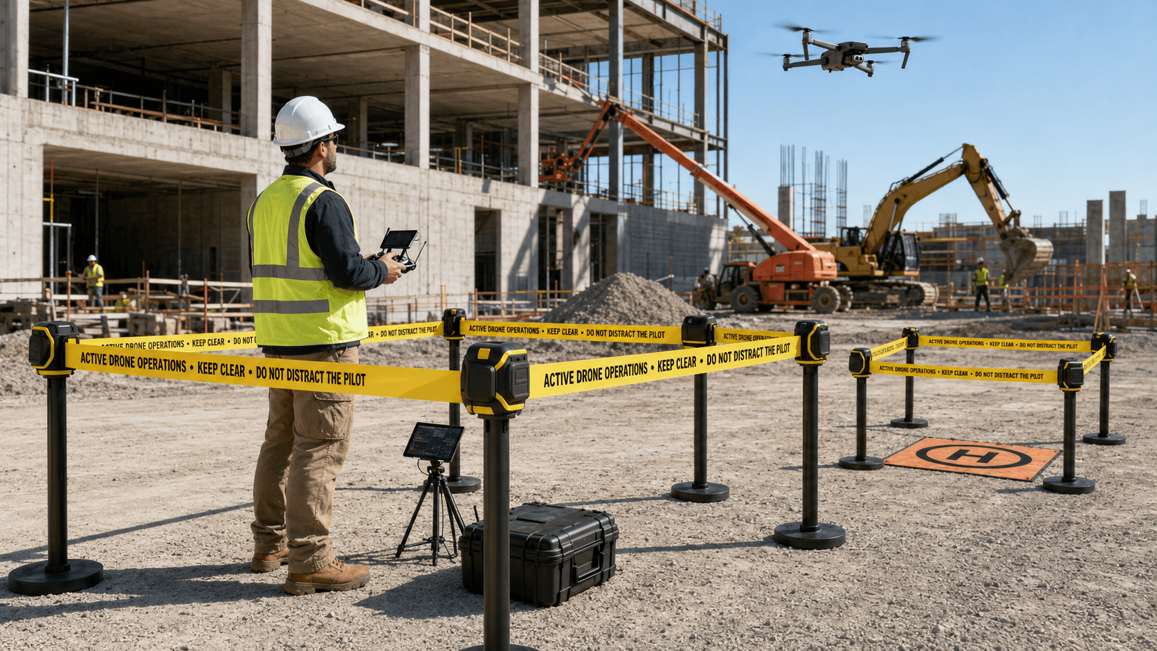
Infrastructure Inspection
Detailed aerial inspection of rooftops, towers, utilities, corridors, and difficult-to-access assets.
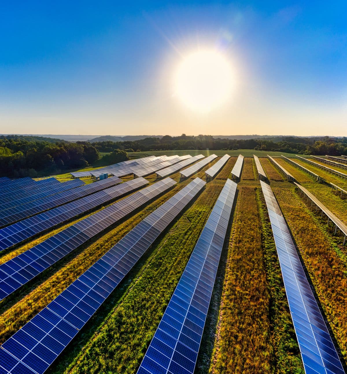
Thermal & Multispectral Imaging
Thermal and multispectral data capture for energy, solar, agriculture, and building-envelope analysis.
Construction Site Monitoring
Repeatable aerial capture for progress tracking, stakeholder reporting, and project documentation.
Data & Analytics Deliverables
Processed outputs built for engineering, GIS, planning, and executive decision-making workflows.
Mission Documentation & Compliance
Risk review, flight documentation, airspace records, and mission traceability from intake through delivery.
Advanced Operations
Complex and multi-site operations scoped around regulatory, airspace, site, and client requirements.
Mission First
Tell us what you need to know. We'll determine how to capture it.
One site or fifty. One-time inspection or recurring program. DOM scopes the aircraft, capture plan, data workflow, and deliverables around the objective.