
Uniquely Sophisticated. Intelligent Mapping by DOM. Safety-First Operations. Same Perspective. Higher Purpose. Map. Measure. Analyze. Deliver.
Professional Drone Operations
Higher Insights.Real Results.
Inspection, mapping, construction, real estate, infrastructure, and field operations delivered with professional pilots, disciplined workflows, and DOM safety equipment.
✓ Safety First✓ Trusted Data✓ Part 107 Pilots✓ Nationwide
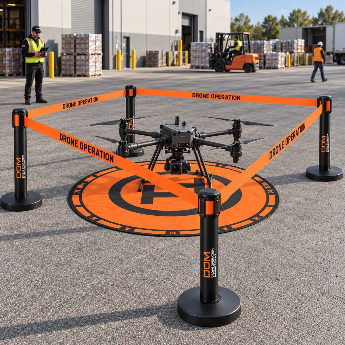

DOM Field Equipment
Drone Operation Barrier System

Commercial
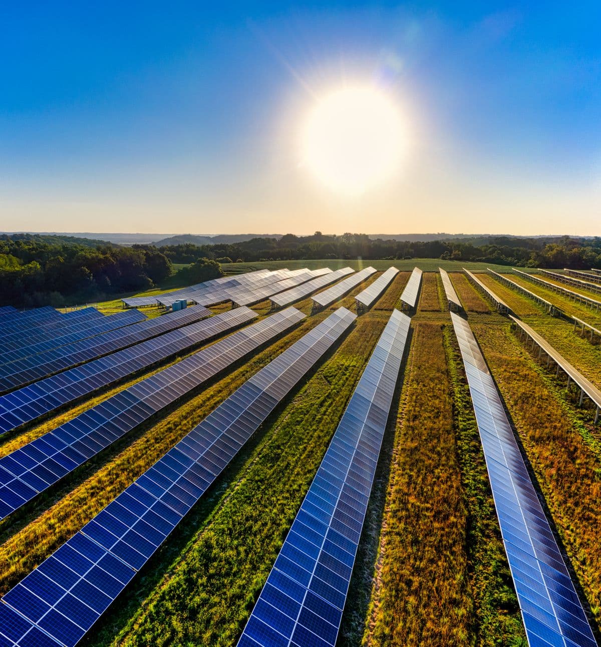
Solar
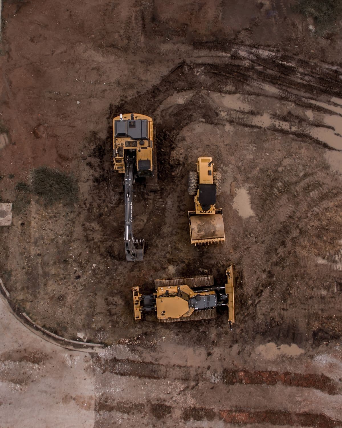
Construction
Real Estate
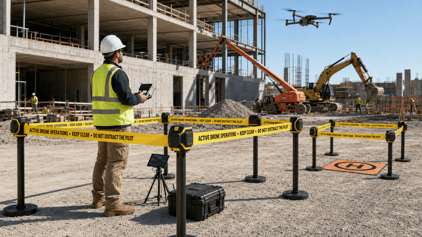
Infrastructure
Industrial
Agriculture
Public Safety

Meet DOM
DOMINIC
Intelligent Mapping by DOM
DOMINIC takes your drone data and turns it into clear maps, measurements, analysis, and professional deliverables — one workflow built for real operations.
Map
2D & 3D
Measure
Dimensions
Analyze
Insights
Deliver
Reports
DOMINIC WORKSPACE
MapMeasureAnalyzeDeliver
Projects
Map View
3D View
Point Cloud
Elevation
Analysis
Deliverables
Roof Area 12,842 ft²
Project Tools
Area
Distance
Height
Volume
Roof Outline
Annotations
Orthomosaic
DSM
DTM
Contours
3D Model
Point Cloud
Local Commercial Drone Provider
Drone Services in Delaware County, PA & the Greater Philadelphia Area
DOM provides commercial drone mapping, aerial photography, roof and infrastructure inspections, construction progress documentation, photogrammetry, 3D models, and aerial data deliverables throughout Delaware County and surrounding southeastern Pennsylvania.
Faster
Workflow
Workflow
Greater
Accuracy
Accuracy
Actionable
Insights
Insights
Built for
Pilots & Teams
Pilots & Teams
All in One
Platform
Platform