
Technical Demonstration
87-Image Photogrammetry Processing Workflow Validation
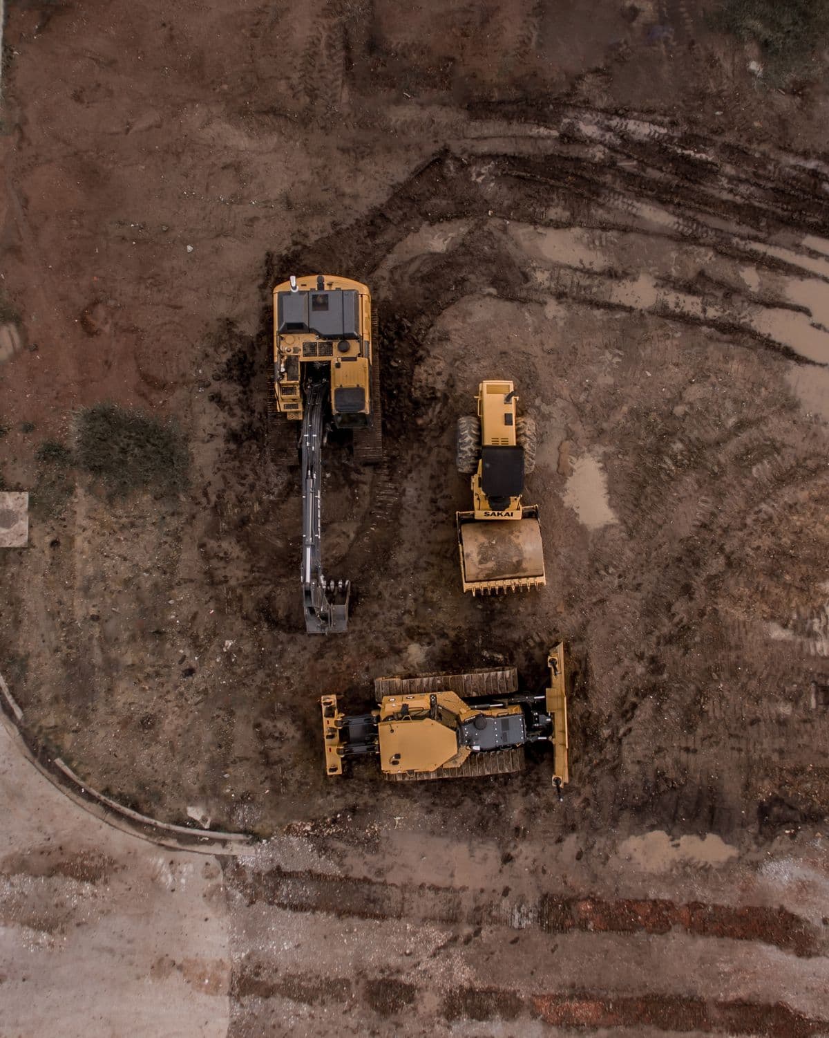
DOM validated a multi-image aerial mapping workflow using 87 geotagged DJI aerial photographs from the OpenDroneMap Toledo sample dataset, including upload, deduplication, worker submission, and NodeODM processing integration.
Source Dataset
OpenDroneMap Toledo sample dataset
Image Count
87
Classification
Technical Demonstration
Purpose
Why this validation exists.
Validate DOM's mapping software workflow end-to-end before applying the process to client missions.
Validated Workflow Elements
01Photogrammetry processing workflow
02Mapping job submission
03Aerial image ingestion validation
Related DOM Services
Where this workflow connects to commercial work.
Disclosure
What this evidence does — and does not — prove.
This was a technical workflow demonstration using a public sample dataset, not a paid client project or a DOM-flown mission.
Need this workflow applied to a real site?
DOM can scope the capture method, aircraft, processing path, and deliverables around your actual property or project.
Request a Mission